
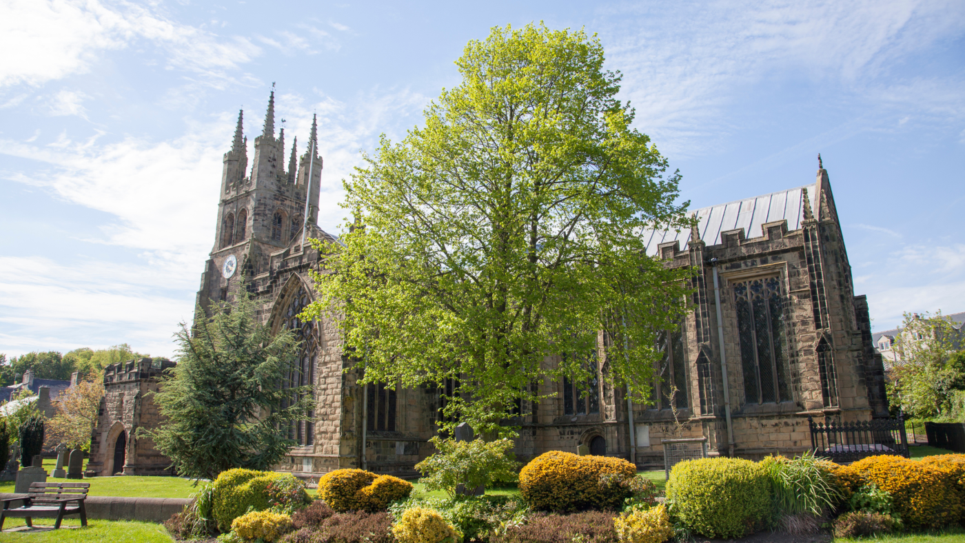
This walk in the Peak District is a little different to our usual ones. The Mills and Martyrs walk starts from the delightful village of Tideswell and is a circular route which takes you through the limestone scenery of the Derbyshire Dales. It’s also a pilgrimage walk, starting from St John the Baptist Church and taking in its four daughter churches in the area.
Pilgrimage walks are routes which deliberately visit or finish at a place of spiritual or religious significance. There are many pilgrimage walking routes around the world. Possibly the most famous being the Camino de Santiago, which is actually a network of pilgrimage walks leading to the cathedral of Santiago de Compostela in Galicia, Spain.
Let me know in the comments if you’ve done this walk and what you think!
Buy a printable/downloadable PDF route guide for the walk here.

Mills and Martyrs Walk from Tideswell
At just under 9-miles, this pilgrimage route is more suited to a day out than a multi-day trip but it’s still a fascinating way to learn more about this area of the the Peak District. The British Pilgrimage Trust website is the home of pilgrimage walks in Britain. You can learn more about the Mills and Martyrs Route and explore their other routes here.
Much of this walk is on quiet country lanes, taking you through lead mining villages, beside rivers and along the footpath in pretty Millers Dale. Along the way you pass many historic buildings, such as Litton Mill, once a cotton mill with a dark past. In Victorian times poor children were travelled up from London to work at the mill. Cruel treatment of the children was commonplace and many of the young orphans ended up buried in the nearby graveyard. One child who survived his servitude at the mill is thought to be the inspiration behind Oliver Twist.
Walk information + GPX
Walk type: Circular Walk
Distance: 8.8 miles/14.2 km
Walk time: 3 – 4 hours
Total ascent: 365 m/1,196 ft
Highest point: 350 m/1,146 ft
Walk highlights: The ‘Cathedral of the Peak’, Litton Mill, following the River Wye through Millers Dale.
Trigs: 0
Ethels: 0
Stiles: Yes – but all had gates next to them which opened when we walked it.
Mills and Martyrs walk map
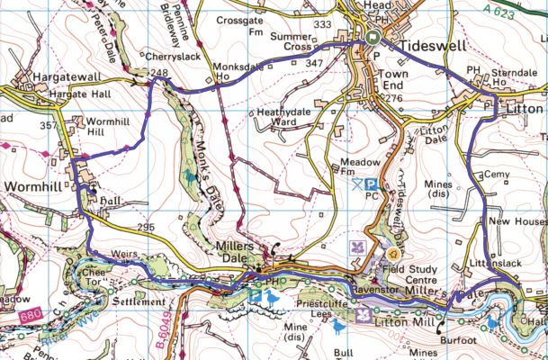
© Crown copyright and database rights (2024) OS 002572460
Click for online mapWalk start point
Start grid reference: SK 1528 7576
Car parking address: Commercial Road, Tideswell, Buxton, SK17 8NU. Google Map.
On street parking. Park considerately near to St John the Baptist church on Commercial Road.
Public transport
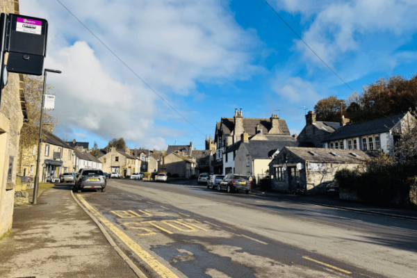
This is a good walk to reach using public transport. The 173 bus runs a few times a day between Bakewell and Castleton and the 65 bus also runs a few times a day between Sheffield and Buxton. Both stop at Tideswell, so it’s worth timing your walk to use them.
There are no nearby train stations.
Facilities on the walk
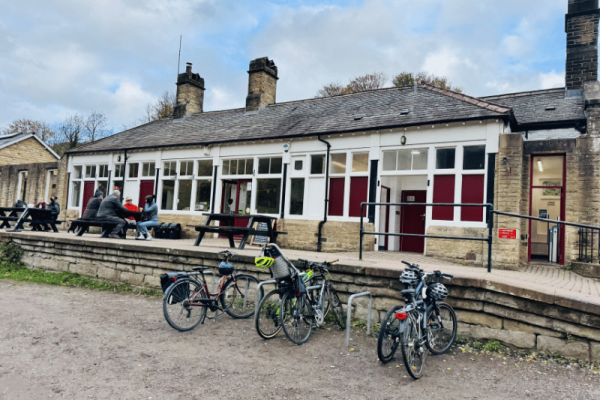
This walk is packed with amenities. There are public toilets in Fountain Square, Tideswell, SK17 8JX, another in Litton at SK17 8QH (there is also and a cafe and toilets at Miller’s Dale carpark. Litton is also home to a small shop and a pub, with further pubs and shops in Tideswell.
Water on your walk – I recommend a filter water bottle for your Peak District walks, it saves you from carrying extra weight and you can fill up safely and drink water from the streams on your walk.
Other useful information
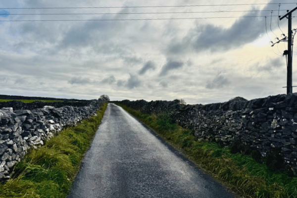
Over half of this walk is on small country roads, with footpath sections through Miller’s Dale and coming out of Wormhill. Although traffic is low on these roads it’s important to stay alert to cars and other vehicles.
Please keep the Peak District beautiful and respect everyone who uses the park. Take ALL your rubbish home to dispose of and remember close gates (as you found them). Thank you so much.
Would you know what to do in an emergency situation?

We have a guide with what to do, who you need to call and also some useful kit that should be in your backpack. Ask us any questions in the comments or via our social media.
Happy hiking + stay safe
read herePeak District weather
Check the weather for your walk location and hills. We’d recommend that you check a few resources and for hill walks look at the weather conditions in the valley and on the hilltop as they can greatly vary.
- BBC Weather for Tideswell
- Met Office weather for Tideswell
- Met Office weather and/or MWIS (Mountain weather information service) for the Peak District
Ordnance Survey walk map
The map for this walk is the Ordnance Survey OL24 – Peak District (White Peak Area).
View the different prices here with Ordnance Survey or Amazon. If you’re hiking in all weather the Active OS maps are good to have as they are laminated so better on rainy days.
And don’t forget your compass, I recommend the Silva Expedition or the Silva Classic compass.
For online maps, I recommend OS Online App (I have been using it for many years and it is worth getting if you want to start walking more). Check prices here for the one-month or annual option with OS Online App. All the walks on the website are created using OS Online + you can download them to the App.
See both maps that cover the Peak District here.
Want to learn more map skills? Check out our Guided Walks with map reading skills here.
Mills and Martyrs Walk from Tideswell walk route
Stage 1 – Tideswell to Litton
Distance: 0.9 miles/1.4 km
Grid reference SK 1528 7576
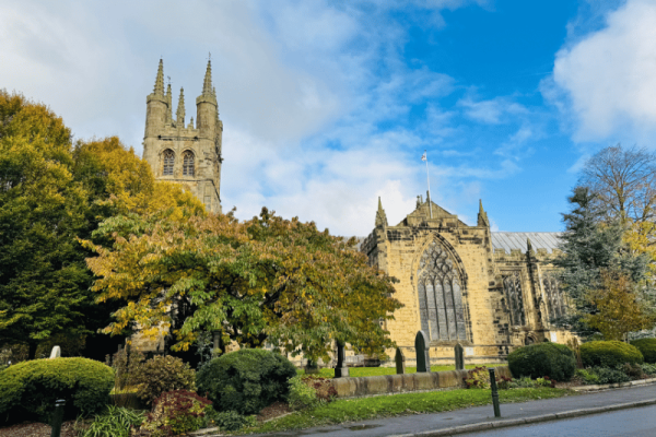
Start outside St John the Baptist church on Commercial Street. Although it’s not actually a cathedral, this lovely church is known as the “Cathedral on the Peak,” due to its size and splendour. It’s one of the most famous churches in Derbyshire, and a Grade II listed building. Learn more about the church here.
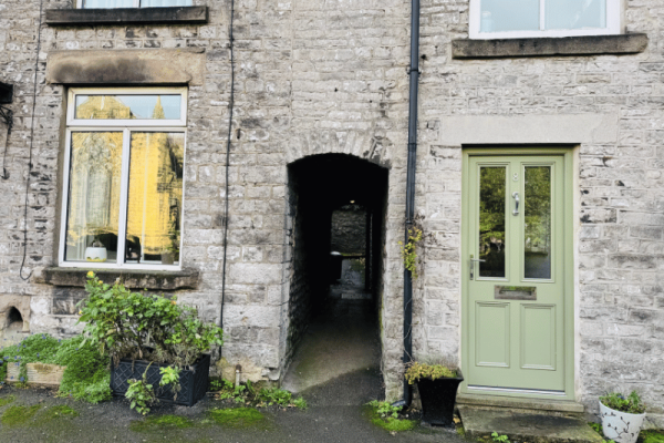
Cross the road from the church and towards Tideswell Deli. About ten metres before you arrive at the deli you spot a tunnel between two houses. Walk through this to meet and follow a footpath uphill, gradually bearing left to come out onto Church Lane, which you follow all the way into Litton.
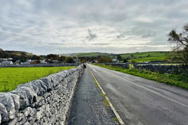
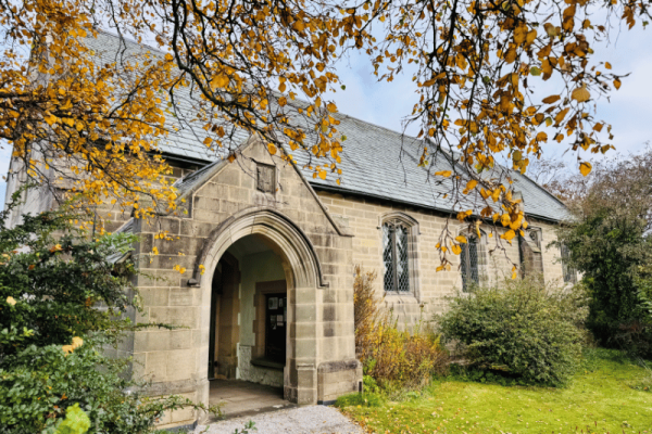
As you enter Litton you pass the second church of the pilgrimage on your left. Christ Church was built in the late 1920’s and, being a newer church, it doesn’t have a graveyard.
Stage 2 – Litton to Cressbrook
Distance: 1.1 mile/1.8 km
Grid reference SK 2338 6882
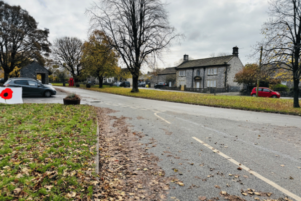
Continue past the church. Just past the Red Lion pub and village stocks on your left, arrive at a road junction. Go straight on/left (pic below) onto Mires Lane, passing the brick-built bus shelter on your left, then the village shop on your right.
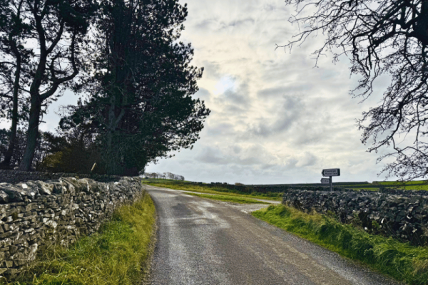
Just after passing Hall Farm on your right, turn right onto Hall Lane, towards Cressbrook. Continue on this road, as it bends to the right, then curves to the left.
1.5 miles into your walk Hall Lane meets Bottomhill Road. Continue straight onto Bottomhill Road, signposted Cressbrook and Monsal Dale, to pass Litton Cemetery on your left.
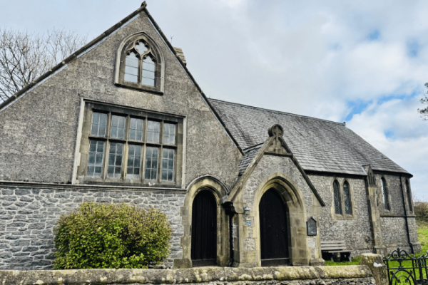
As you reach some woodland on the right of the road you will also see your third church of the pilgrimage to the left. St. John the Evangelist’s Church, Cressbrook is a Georgian Mission Church. It was actually built in two parts. The original part was a school room for children from the mill, with the church added after.
Stage 3 – Cressbrook to Millers Dale
Distance: 2.8 miles/4.5 km
Grid reference SK 2443 6852
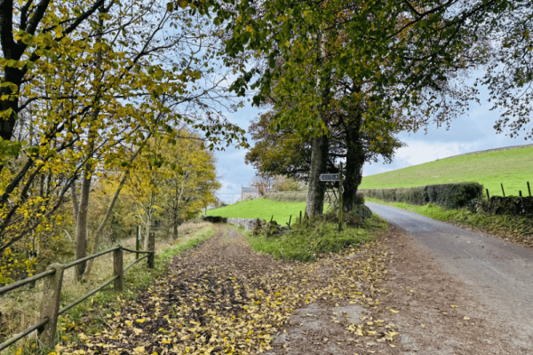
Leaving the church, turn right to go slightly back the way you came. Cross the road at the fingerpost sign marked for Litton Dale and Millers Dale and head down this footpath.
Enjoy the views from the footpath to the village below as you head down into the dale. After a couple of hundred metres there is a slight split in the path, keep to the left hand track which snakes down, then slightly up, then down again, to reach the track which served Litton Mill. The mill was built in 1782 and is now private apartments, but it once housed hundreds of orphans, some of whom are buried in the nearby churchyard.
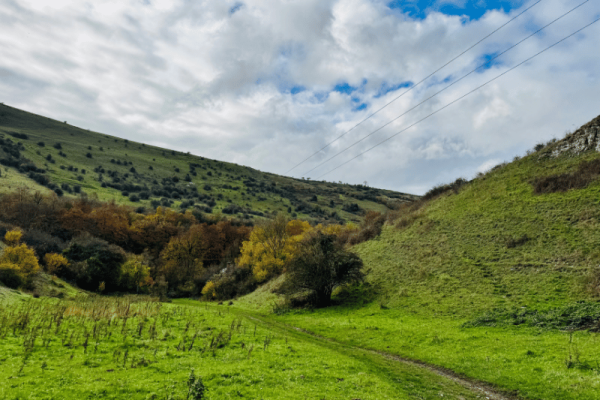
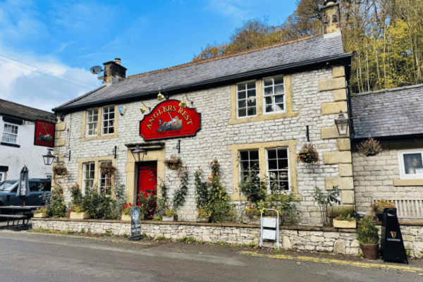
Continue along the metalled road for just over a mile, with the River Wye joining you to your left. Not long before you arrive at the junction with the B6049 you pass the Anglers Rest pub. A nice place to stop for mid-walk refreshments.
Arriving at the junction of roads you’ll spot St Anne’s Church, Millers Dale. Built in 1879, it was once also part of the benefice of St John the Baptist, but is now only used for special services.
Just past the church, turn right onto a narrow footpath. This takes you up, along the side of the church, bending round into a field after a wooden gate.
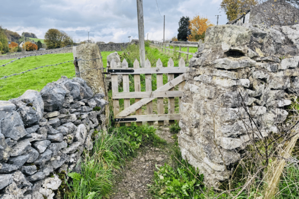
After a short distance this path reaches a stile in front of Glebe Farm. Cross the stile out onto another metalled road. Turn left down the road to enter the old Millers Dale station yard.
Stage 4 – Millers Dale to Wormhill
Distance: 2.4 miles/3.9 km
Grid reference SK 2514 7001
At Millers Dale station you’ll find a café and toilet facilities. This was once a junction for trains on the Midland Line, which ran between Manchester and London. The old railway line route is now the popular Monsal Trail, used by cyclists, walkers and horse riders. You can take a short diversion here onto the viaduct, to enjoy the beautiful views.
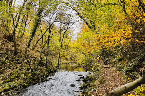
Leave Millers Dale station on the Monsal Trail, signposted towards Wye Dale. After around 500 metres you cross a smaller viaduct, and take the footpath down to the right, off the Monsal Trail, signposted for Blackwell and Cheedale.
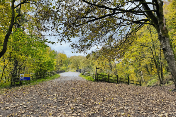
With the River Wye to your right, continue following the signpost for Chee Dale and Wormhill, before crossing the river again on a footbridge. Once over the river take the footpath straight ahead, taking you steeply upwards towards Wormhill. The path dips slightly and bends to the right, continuing through a wooden gate and finally bringing you out onto a small country road.
Turn left to follow this lane into Wormhill.
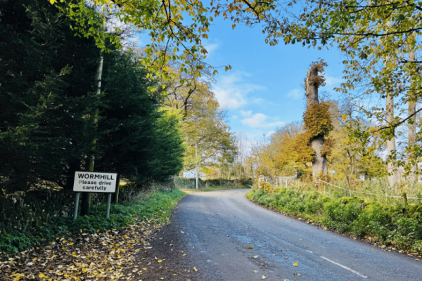
Stage 5 – Wormhill to Tideswell
Distance: 2.8 miles/4.5 km
Grid reference SK 2443 6852
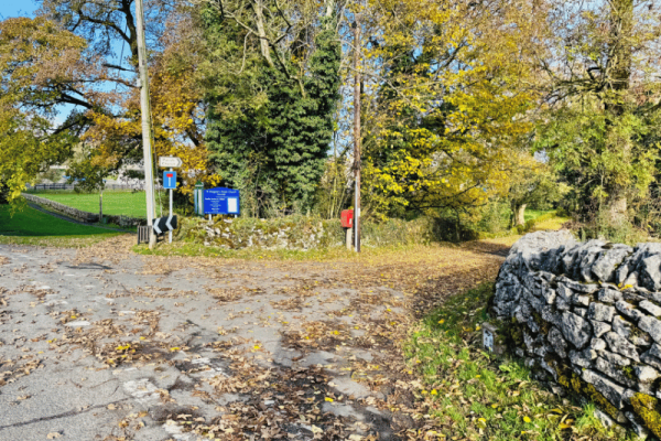
After about 250 metres on this road, and around 6-miles into your walk, you’ll see a turning your right with the information board for St Margaret’s Church, Wormhill. Turn down this pretty lane to visit the church, the fourth on the pilgrimage. The church has an unusual tower roof, one of only two in this style in the country.
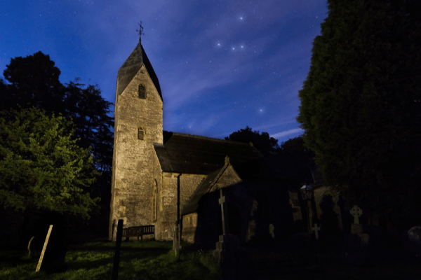
Once you have explored the church and grounds head back the way you came, up the lane, turning right back onto the road you were on to head into Wormhill village. Shortly on your right you’ll spot the James Brindley memorial, dedicated to the engineer who played an essential role in shaping the way canals were built in the 1700’s.
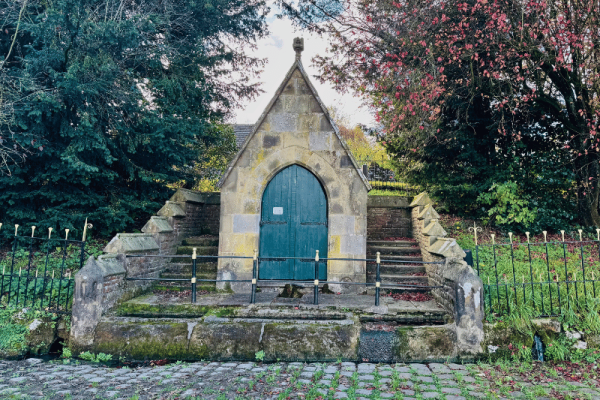
Pass Bateman Farm, around 6.5-miles into your walk, and turn right onto a bridlepath. Follow this bridlepath for around 3/4 of a mile to reach Summercross Road, leading into Tideswell. Turn right onto the road and climb steeply past Monksdale House, continuing straight on at a road junction to continue into the village.
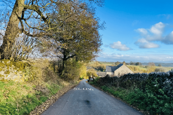
Reach a t-junction as you come into Tideswell (with two benches against the wall opposite you). Turn left here, then shortly then next right onto Parke Road.
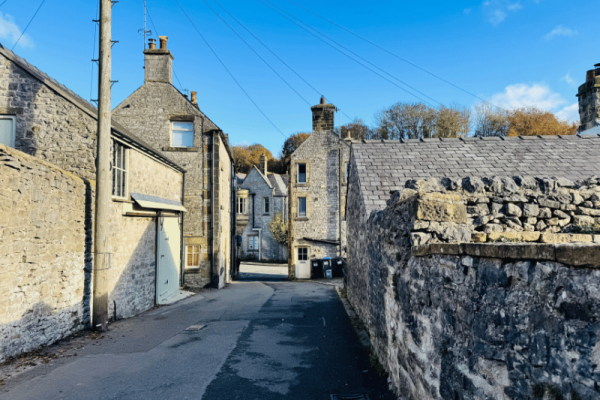
At the top of Parke Road you emerge onto Tideswell High Street. Cross over here to be back on Commercial Road and shortly back at your start point.
If you haven’t already, you can take some time to look around the Cathedral of the Peak, St John the Baptist church and explore Tideswell before heading home.
If you’re enjoying the village of Tideswell why not spend some more time there? Our article: How to Spend the Perfect Walking Weekend in Tideswell, gives you lots on information about amenities and walks in and around the village, as well as a 3-day itinerary for your break.
Buy a printable/downloadable PDF route guide for the walk here.
Ask me any questions about this Peak District Walk in the comments below.
More Derbyshire Dales walks
Looking for other walks which take in the lovely Derbyshire Dales? Check out these options:
Or search all our Peak District walks here
Peak District Walks is a FREE online resource. Are you enjoying the walks? You can say thank you and buy me a coffee here. Thank you very much 🙂
Peak District charity patches
Read about the charity here.


Charity Patches

Charity Patches

Charity Patches

Charity Patches


Charity Patches


Charity Patches
Need more help planning your Peak District trip?
Join our Peak District walks Facebook page, follow us on Instagram and Twitter for inspiration.
More information on the Peak District, including transport options, where to stay, best Peak District pubs + other useful resources.
Check out the 7 YHAs in the Peak District and find the best walks direct from your accommodation.
Find out what maps you will need for your trip here.
Top tips - Read our useful guides on hiking tips here.
Guided Walks with an introduction to map reading (see dates here).
Visit our hiking recommendations page, (footwear, clothes + kit).
Or get in touch and I will help as best I can :).
Please note 'Peak District Walks' accepts no liability for any injuries or accidents resulting from walking our routes. We always recommend you wear appropriate footwear to avoid injuries and to take a paper map and compass on your walks. Read more here.
*Peak District Walks participates in the Amazon Services Associates Programme, as well as other affiliate programmes. If you purchase through these, Peak District Walks earn from the qualifying links. This is at no extra cost to you. Read more here.
