
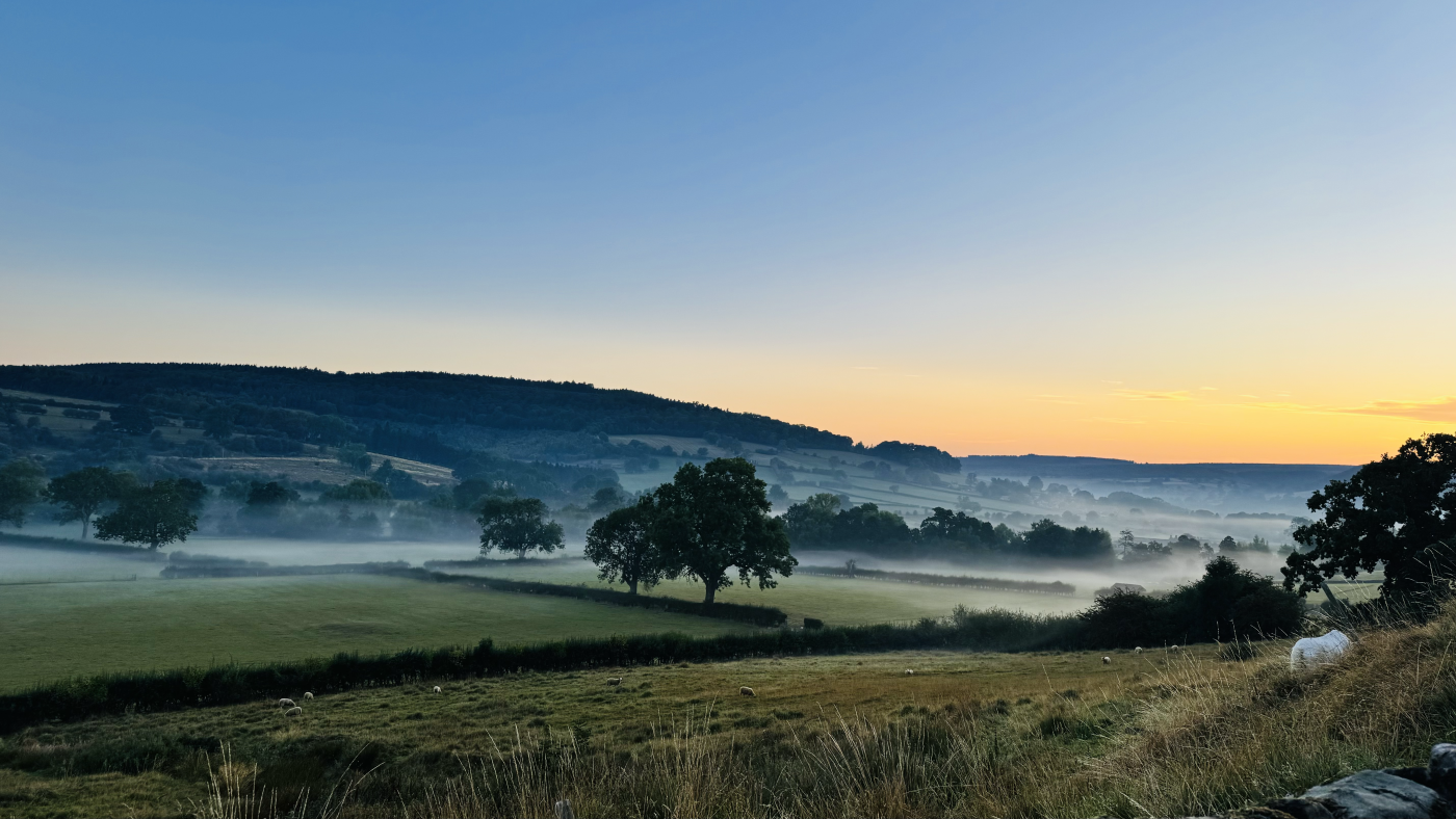
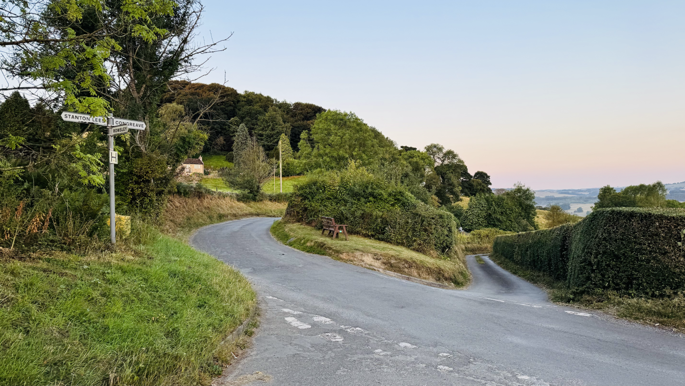
A delightful short walk on the very edge of the Peak District. Taking in lovely views of Matlock and Haddon Hall as you head up to your halfway point, which is also the highest point of the walk. Stroll past the pretty buildings and Manor House at Stanton Woodhouse, before descending on country lanes, stopping to enjoy views framed by overhanging trees.
On your way back you pass through the tiny hamlet’s of Pilhough and Congreave, with just over ten houses between them. You also pass Peak Tor, a mysterious tree-topped hill summit, also known as Pillow Hill, which is thought to have been an early Celtic settlement.
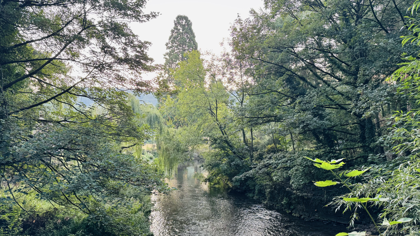
Heading back into Rowsley you return over the babbling River Derwent. As it’s a shorter route you will have time to enjoy the delights of Rowsley, including its pubs, craft centre and shopping outlet. This walk is perfect for access by public transport as the TrentBarton Sixes route, running through Derby, Matlock and Belper has a stop right near the start point.
Here you will find details on how to get to the start of the walk, route information, a map, GPX file, plus detailed step-by-step directions for the walk.
Let me know in the comments if you’ve done this walk and what you think!
Buy a printable/downloadable PDF route guide for the walk here.
Stanton Woodhouse from Rowsley
Walk information + GPX
Walk type: Circular Walk
Distance: 3.8 miles/6.1 km
Walk time: 1.5 – 2 hours
Total ascent: 148 m/487 ft
Highest point: 214 m/703 ft
Walk highlights: Pretty houses at Stanton Woodhouse, views back to Rowsley, over to Matlock and Haddon Hall. Peak Tor.
Trigs: 0
Ethels: 0
Stiles: 0
Stanton Woodhouse from Rowsley walk map
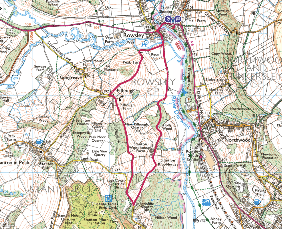
© Crown copyright and database rights (2024) OS 002572460
Click for online mapWalk start point
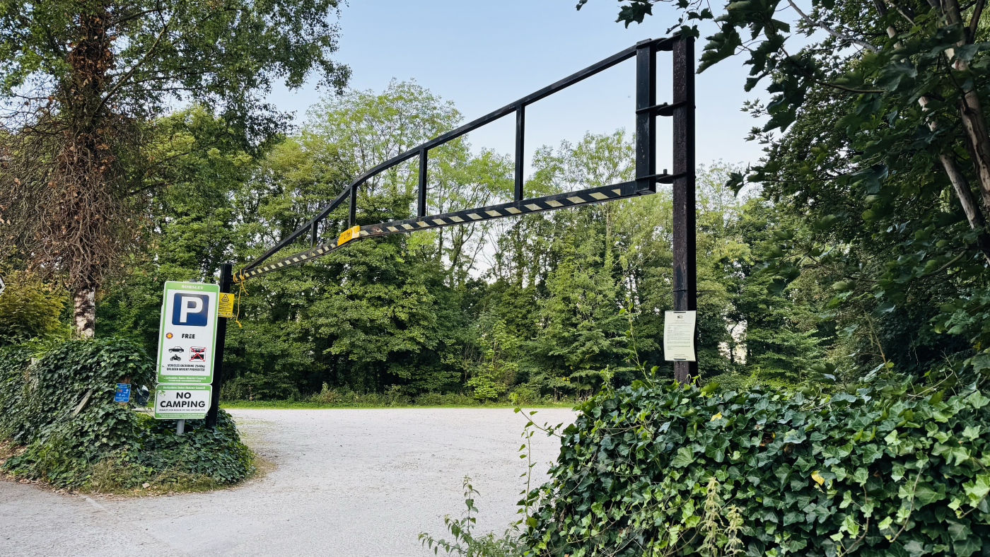
Start grid reference: SK 2582 6587
Car parking address: Old Station Cl, Rowsley, Matlock DE4 2EL – Google Location
This is a small, free car park, for approx 20-30 cars. There is a height restriction of 2.1m.
Public transport
Nearest train station: The nearest large train station is at Matlock, 5 miles from Rowsley. There is a lovely, traditional steam and diesal train which runs between Matlock and Rowsley on certain days. This is operated by Peak Rail and you can find the timetable here.
Bus: The TrentBarton Sixes bus serves Rowsley regularly throughout the day on its route between Bakewell and Derby. The Peak Village stop on the A6 is very close to the start/finish of the walk.
Facilities on the walk

There are no public toilets available at the start of the walk. The nearest public toilets are at Peak Village Shopping Centre, a five minute walk from the start of the walk.
There are no pubs or cafes on the walk but plenty of options in Rowsley itself.
Water on your walk – I recommend a filter water bottle for your Peak District walks, it saves you from carrying extra weight and you can fill up safely and drink water from the streams on your walk.
Other useful information
Much of this walk is on small roads and tracks which are used by traffic. When we did it they were very quiet and we barely saw any cars but please exercise caution and keep an eye and ear out for vehicles at all times.
Please keep the Peak District beautiful and respect everyone who uses the park. Take ALL your rubbish home to dispose of and remember close gates (as you found them). Thank you so much.
Would you know what to do in an emergency situation?

We have a guide with what to do, who you need to call and also some useful kit that should be in your backpack. Ask us any questions in the comments or via our social media.
Happy hiking + stay safe
read herePeak District weather
Check the weather for your walk location and hills. We’d recommend that you check a few resources and for hill walks look at the weather conditions in the valley and on the hilltop as they can greatly vary.
- BBC Weather for Matlock.
- Met Office weather for Rowsley.
- Met Office weather and/or MWIS (Mountain weather information service) for the Peak District
Ordnance Survey walk map
The map required for this walk is the Ordnance Survey OL24 – Peak District (White Peak Area).
Check prices here with Ordnance Survey or Amazon. If you’re hiking in all weather the Active OS maps are good to have as they are laminated so better on rainy days.
View both Peak District map options here.
And don’t forget your compass, I recommend the Silva Expedition or the Silva Classic compass.
For online maps, I recommend OS Online App (I have been using it for many years and it is worth getting if you want to start walking more). Check prices here for the one-month or annual option with OS Online App. All the walks on the website are created using OS Online + you can download them to the App.
See both maps that cover the Peak District here.
Want to learn more map skills? Check out our Guided Walks with map reading skills here.
Stanton Woodhouse from Rowsley walk route
Stage 1 – Rowsley to Stanton Woodhouse
Distance: 1.2 miles/1.9 km
Grid reference SK 2582 6587
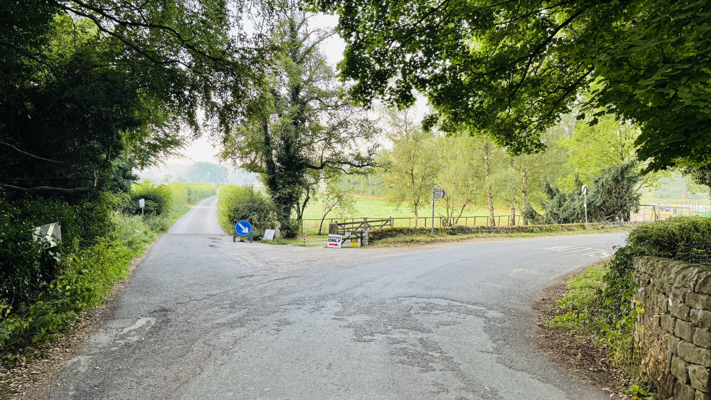
Turn left out of the car park and walk up to the A6. Turn left along the A6 (there is a pavement to walk on) for approx 300m. The road crosses the River Derwent and shortly after you turn left down Woodhouse Road.
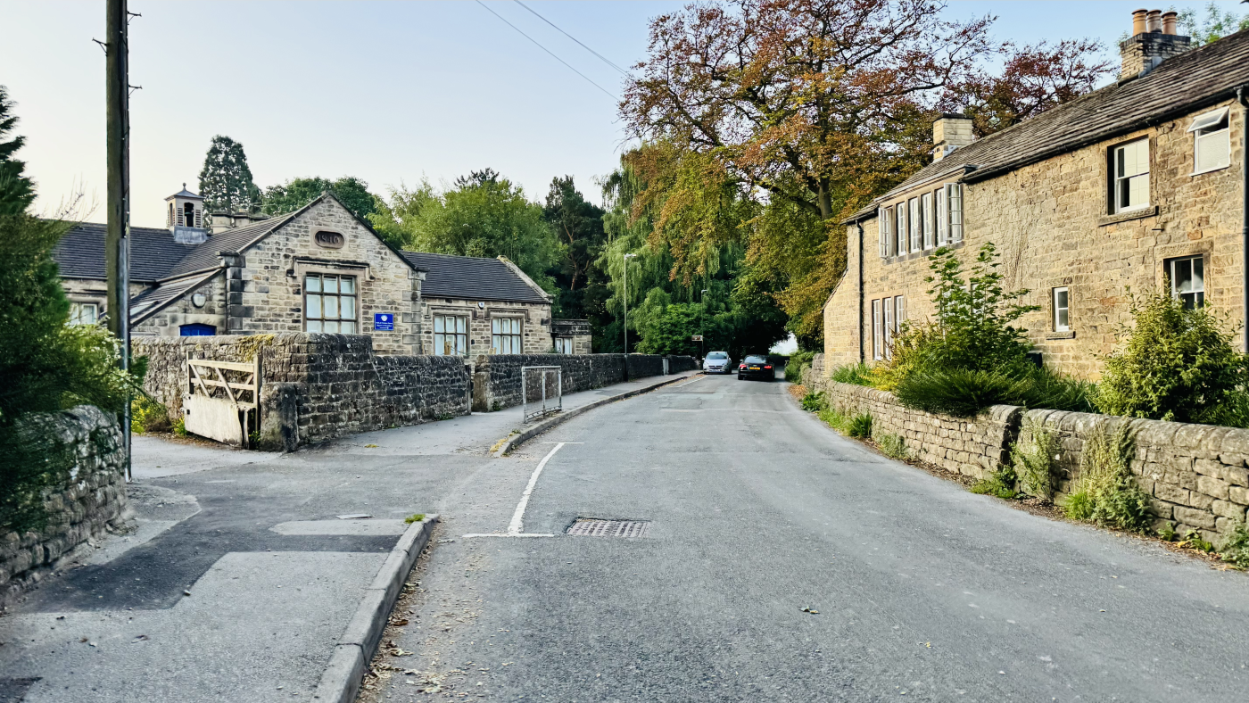
Stay on Woodhouse Road, past the school and over the River Wye on a stone road bridge. The River Wye is just about to meet the River Derwent here. Just over the River Wye there is a junction in the road. Ignore the turning to your right – you will come back down here later on – and continue straight up Woodhouse Road as it narrows.
Continue on Woodhouse Road, going uphill for another three-quarters of a mile, where you will reach the pretty buildings of Stanton Woodhouse.
Stage 2 – Stanton Woodhouse to Pilhough
Distance: 1.6 miles/2.6 km
Grid reference SK 2564 6444
Stanton Woodhouse Hall is a private property, follow the obvious signs for the footpath which runs behind the hall and through charming old farm buildings.
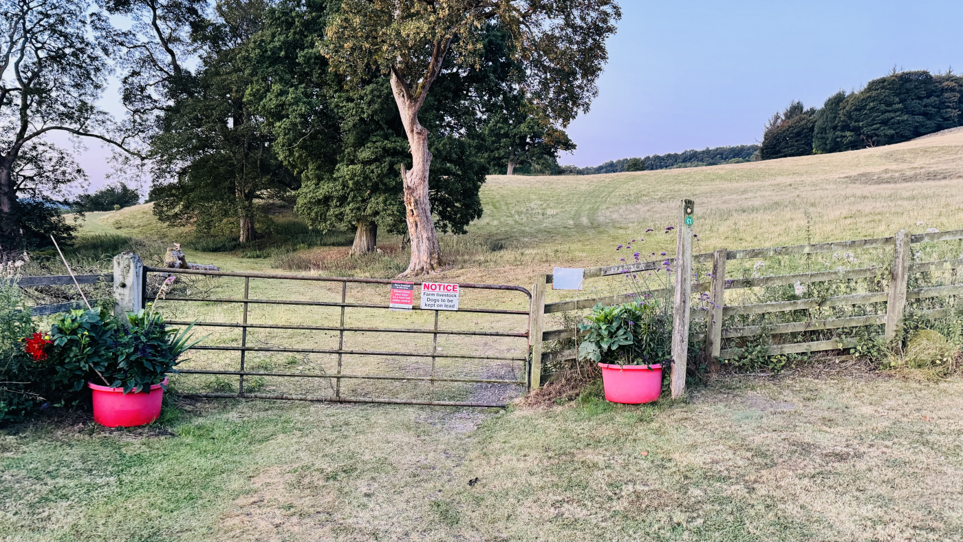
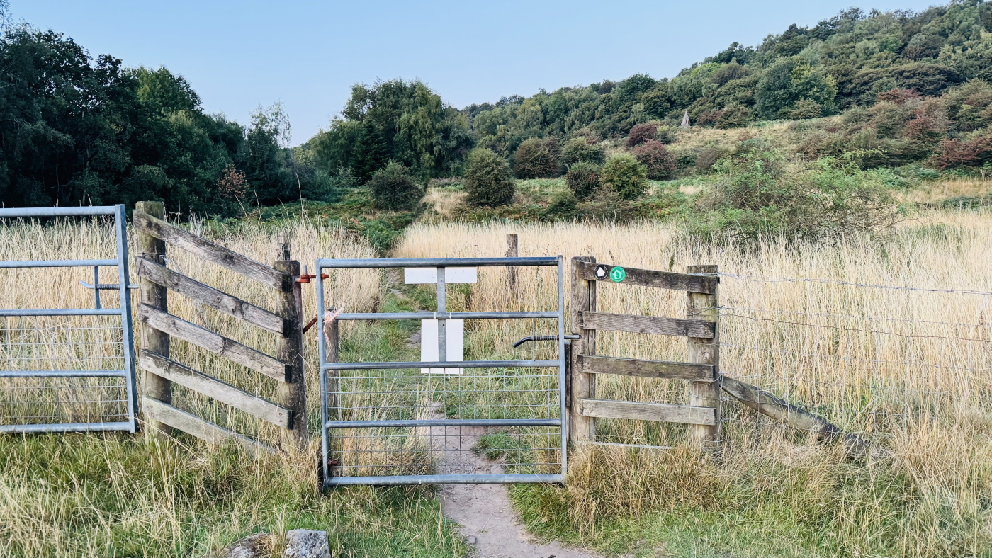
Follow the path through a metal gate and follow the more obvious path, slightly left between a few trees and into open fields, leading further uphill (photo above). Continue up to a smaller metal gate and go through onto the narrower path up towards the trees (photo below).
About 1.75 miles into your walk you will emerge from the path onto another road (Lees Road), beside the end of a stone wall and footpath sign.
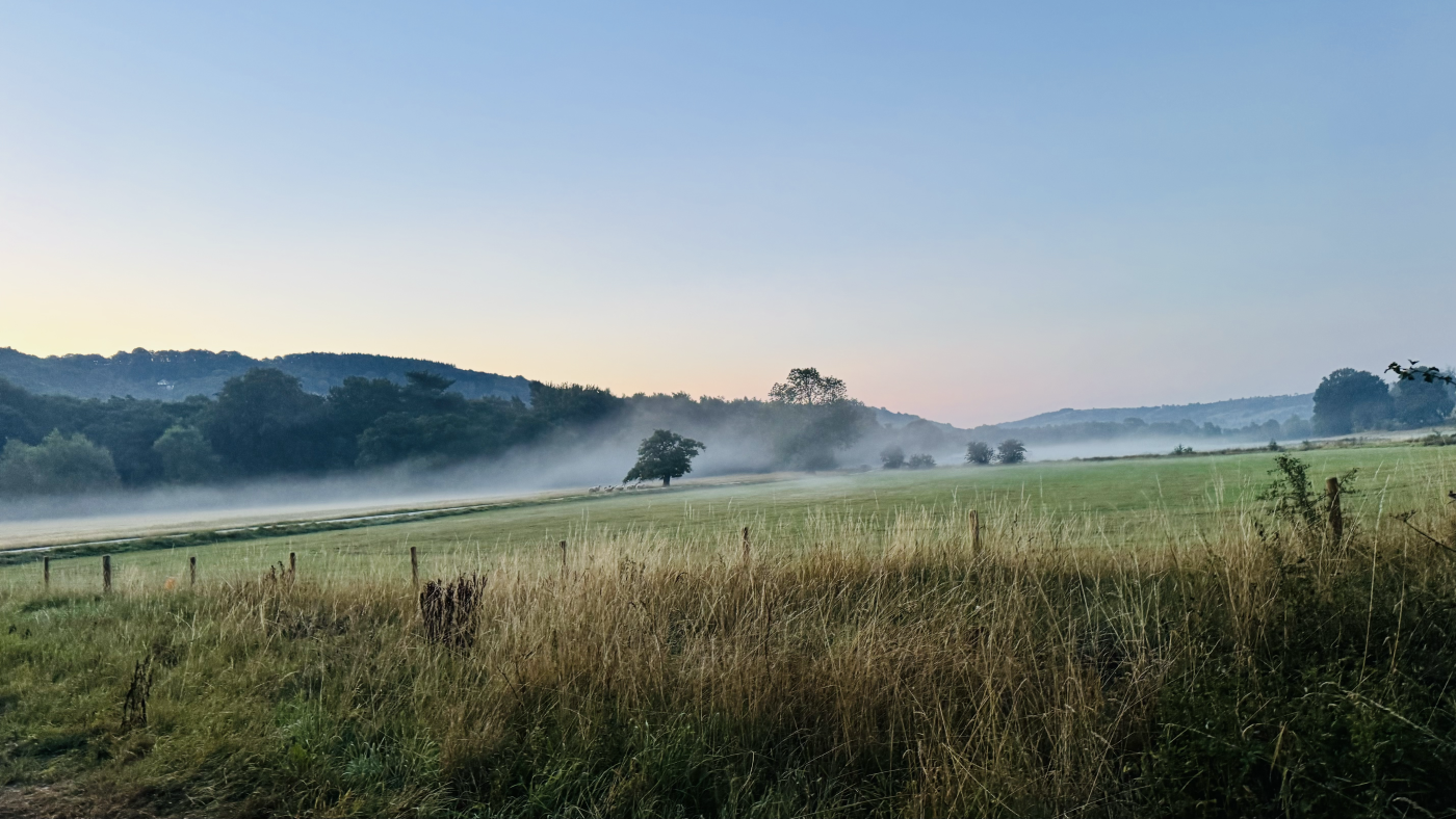
Turn right along Lees Road and walk along, taking care to look and listen for any traffic. After about 200 m you see a left turn for Stanton in Peak, ignore this and continue straight on Pilhough Road, enjoying the views to your right.
After another three quarters of a mile you’ll reach the hamlet of Pilhough with its handful of houses.
Stage 3 – Pilhough to Woodhouse Road
Distance: 0.7 miles/1.1 km
Grid reference SK 2504 6499
Arriving at a junction of roads in Pilhough you will take the righthand Peak Tor Lane, signposted to Rowsley (photo below). This is another narrow lane with wonderful views opening up to either side of you.
As you follow Peak Tor Lane you will pass the mysterious Peak Tor in a field to your left. This tree-topped hill-summit is thought to have been used as a Celtic camp or settlement.
Stay on the lane, as it winds downhill, with the River Wye eventually joining alongside you as the road flattens out. After around three quarters of a mile you’ll come back to the junction with Woodhouse Road which you were at earlier.
Stage 4 – Woodhouse Road to Rowsley
Distance: 0.2 mi/0.4 km
Grid reference SK 2569 6565
Turn left back over the River Wye and along Woodhouse Lane, retracing your steps to the A6. Turn right, before crossing the River Derwent again and taking the first right back to the car park on Old Station Close.
Before you head home you can take some time to explore the craft centre, Peak Village shopping centre and the local hostelries – all easy to find in Rowsley.
Buy a printable/downloadable PDF route guide for the walk here.
Ask me any questions about this route in the comments below.
Other walk information
More walks in the Peak District
Love the walks in the White Peak? You might like these walks:
-
Robin Hood’s Stride + Stanton Moor from Winster | 9-mile route
-
Blore Pastures, Ilam Hall + Park Walk From Blore Pastures | 4-Mile Route
Or search all our Peak District walks here
Peak District Walks is a FREE online resource. Are you enjoying the walks? You can say thank you and buy me a coffee here. Thank you very much 🙂
Peak District charity patches
Read about the charity here.


Charity Patches

Charity Patches

Charity Patches

Charity Patches

Charity Patches

Charity Patches
Need more help planning your Peak District trip?
Join our Peak District walks Facebook page, follow us on Instagram and Twitter for inspiration.
More information on the Peak District, including transport options, where to stay, best Peak District pubs + other useful resources.
Check out the 7 YHAs in the Peak District and find the best walks direct from your accommodation.
Find out what maps you will need for your trip here.
Top tips - Read our useful guides on hiking tips here.
Guided Walks with an introduction to map reading (see dates here).
Visit our hiking recommendations page, (footwear, clothes + kit).
Or get in touch and I will help as best I can :).
Please note 'Peak District Walks' accepts no liability for any injuries or accidents resulting from walking our routes. We always recommend you wear appropriate footwear to avoid injuries and to take a paper map and compass on your walks. Read more here.
*Peak District Walks participates in the Amazon Services Associates Programme, as well as other affiliate programmes. If you purchase through these, Peak District Walks earn from the qualifying links. This is at no extra cost to you. Read more here.
This looks like a lovely route!
Is there anything left at the Craft Centre? Last time we were there even the café had closed.
That’s a shame! We didn’t get a chance to pop in when we were walking, so I’m not sure.